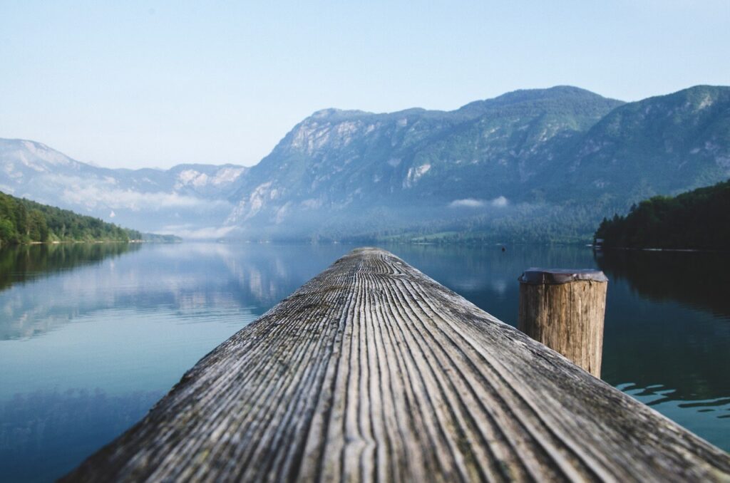
The Uinta Mountain are nestled in northeastern Utah and stand out as a unique geological wonder with their east-west orientation and ancient rock formations, offering a stark contrast to the typical north-south aligned ranges of the Rocky Mountains. This range is not only a treasure trove for outdoor enthusiasts with its highest peak, Kings Peak, reaching 13,528 feet but also contains over 1,000 natural lakes, making it a prime destination for hiking, camping, and fishing.
The Mirror Lake Highway Scenic byway cuts through the heart of the Uintas, providing amazing access to this wilderness area’s vast network of trails, lakes, and campgrounds. Remarkably, the Uintas’ proximity to Salt Lake City, just a few hours away, offers both residents and visitors an easily accessible escape into nature. Though the Mirror Lake offers the easiest access to the High Uintas, much of the range remains seldom accessed and seldom traveled, a wonder for those seeking solitude!
1. Provo River Falls
- Hike Stats: 0.25 miles, and 40 Feet – AllTrails
- Trailhead info: Parking is limited and can spill out on the road – Directions
- This is the easiest hike on the list. It’s more of a stroll from the parking lot, but for the more adventurous, there are multiple waterfalls downstream that you could potentially explore by crossing the river.
2. Mirror Lake Loop
- Hike Stats: 1.5 miles, and 40 Feet – AllTrails
- Trailhead Info: Starts at the Mirror Lake day-use area, parking is limited. If you’re camping there, you can also access the trail from the campground. – Directions
- This is a leisurely walk around the picturesque Mirror Lake. Mirror Lake is the highway’s namesake and a must-stop along the drive.
- The path, gently winding and flat, boasts numerous boardwalks, each offering an array of picturesque vistas showcasing the rugged Bald Mountain and the surrounding peaks.
3 Lofty Lake Loop
- Hike Stats: 4.5 Miles RT and 950 Feet – AllTrails
- Trailhead Info: A dirt parking lot just off the Mirror Lake Highway, that can fill up pretty fast. Directions
- I have always hiked this loop counterclockwise. But the AllTrails route is clockwise.
- This hike is beautiful, with sweeping views of the High Uinta Mountains, and several pristine alpine lakes! Kamas Lake notably stands out with its green hue and pristine waters!
- Option to summit Scout Peak as well! – no trail – it’s a relatively easy boulder hop to the summit, which has an amazing view of Kamas Lake and the surroundings.
4 Crystal Lake Trail (20 lakes loop)
- Hike Stats: 7.6 miles RT and 950 Feet – AllTrails
- Trailhead Info: Crystal Lake TH fills up quickly, and there is overflow parking as well. This TH is a starting point for many other hikes as well! – Directions
- As the name suggests, you will hike past 20 lakes! Each is unique and beautiful in its own way.
- You pass: Crystal Lake, Cliff Lake, Petite Lake, Linear Lake, Watson Lake, Unnamed Lake 1, Clyde Lake, the Triple Divide Lake (3 total), Hidden Lake, Peter Lake (12 so far, keep going!!), James Lake, John Lake, Unnamed Lake 2, Hope Lake, Unnamed Lake 3, Wall Lake, Lilly Lake 1, and Lilly Lake 2! Phew!
- Some Lakes are bigger than others, my favorites are Clyde Lake, Wall Lake, and the Triple Divide Lakes!
5 Bald Mountain (11,947 Feet)
- Hike Stats: 2.75 miles RT and 1181 Feet – AllTrails
- Trailhead Info: Spacious TH! Ample Parking – Directions
- Bald Mountain is a Uinta classic, it is arguably the easiest peak in the entire range, easily accessible, and the best bang for your buck!
- From the summit, you can see over 100 lakes in the surrounding basins!
- There’s some exposure on the trail in small sections but it is a well-maintained trail the entire way!
- As with all Uinta Mountain hikes, be aware of the high altitude and acclimate properly!
6. Mount Watson (11,527 Feet)
- Hike Stats: 4.5 miles RT and 1700 Feet – AllTrails
- Trailhead Info: Crystal Lake TH, can fill up very fast! – Directions
- The first 1.5 miles from Crystal Lake is the same path as the 20 lakes loop. Once you reach Clyde Lakes and the Triple Divide, you’ll take the Northeast ridge to the summit. This route gains 1000 feet in less than a mile, so it is steep but nothing more than class 2, in my opinion. Snow can linger into mid summer!
- The summit views of the surrounding lakes are worth it!
7 Hayden Peak (12,749 Feet)
- Hike Stats: 4 miles RT and 2100 Feet – AllTrails
- Trailhead Info: Big Parking Lot that can fill up fast with overnight parking for the Highline Trail! – Directions
- This is the hardest hike on the list!
- There is a route to the summit but no trail. The route is listed as Class 3 but I think it has a few class 4 moves/sections. If you don’t choose the route carefully, you will get cliffed out.
Bonus Hike!! – Amethyst Lake
- Hike Stats: 4.5 Miles RT and 950 Feet – AllTrails
- Trailhead Info: A dirt parking lot just off the Mirror Lake Highway, that can fill up pretty fast. Direction
- Since this hike isn’t directly off the Mirror Lake Highway and includes a dirt road, it’s a bit longer of a drive.
- I don’t recollect much of the hike but I remember the first 5 miles being gradual and forested, with the last 1.5 miles with sweeping vistas and a beautiful, aptly named lake. Tons of backpacking options here as well


